Chandrashila Peak
Uttarakhand, India
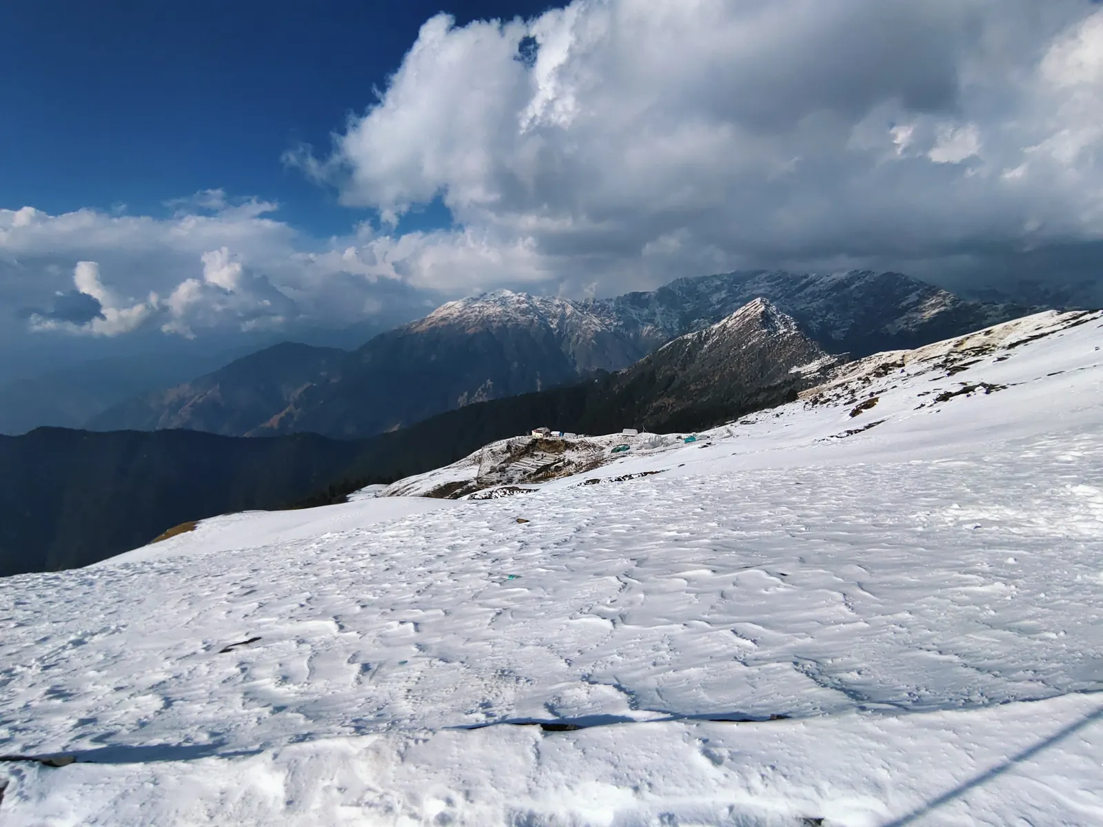
A winter climb from Chopta past Tungnath to Chandrashila summit — deep snow, a whiteout on the way up and a clear 360° Himalayan panorama at the top.
The drive up
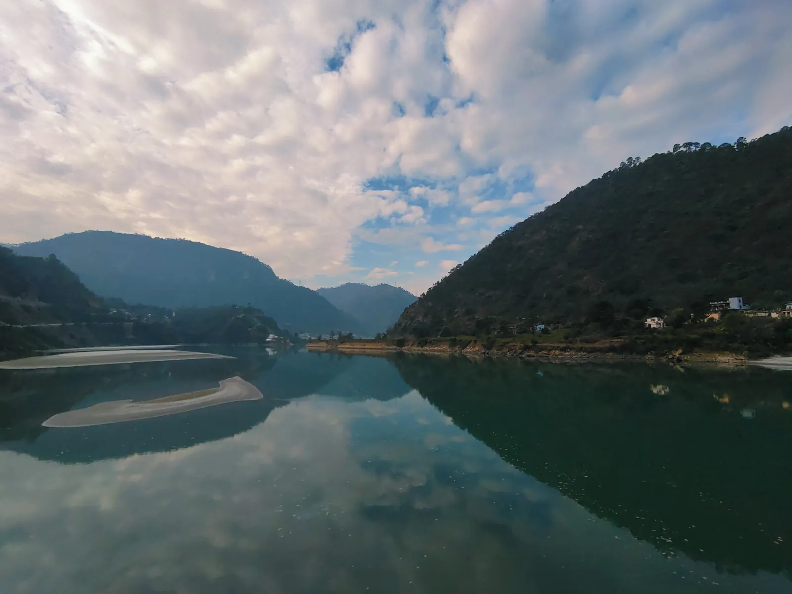
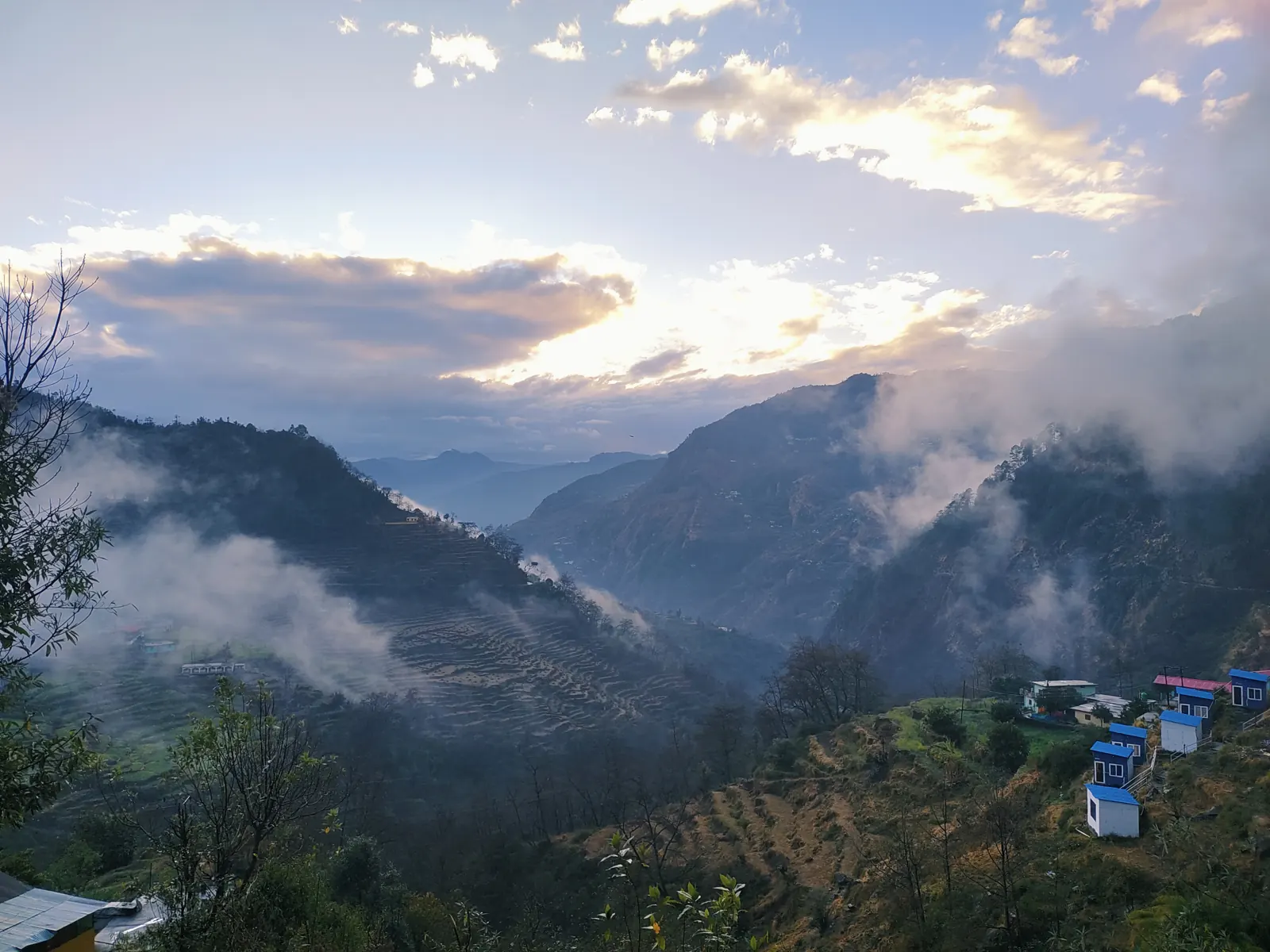
This was the first trek of my February 2025 trip to Uttarakhand. The morning of 4 February started low, at around 600 metres, beside a perfectly still stretch of water in the Garhwal hills, and the whole day was spent winding up and up through the valleys. By evening the clouds were pouring through the valley below where I stayed that night, and it was obvious there was fresh snow waiting higher up.
Into the snow
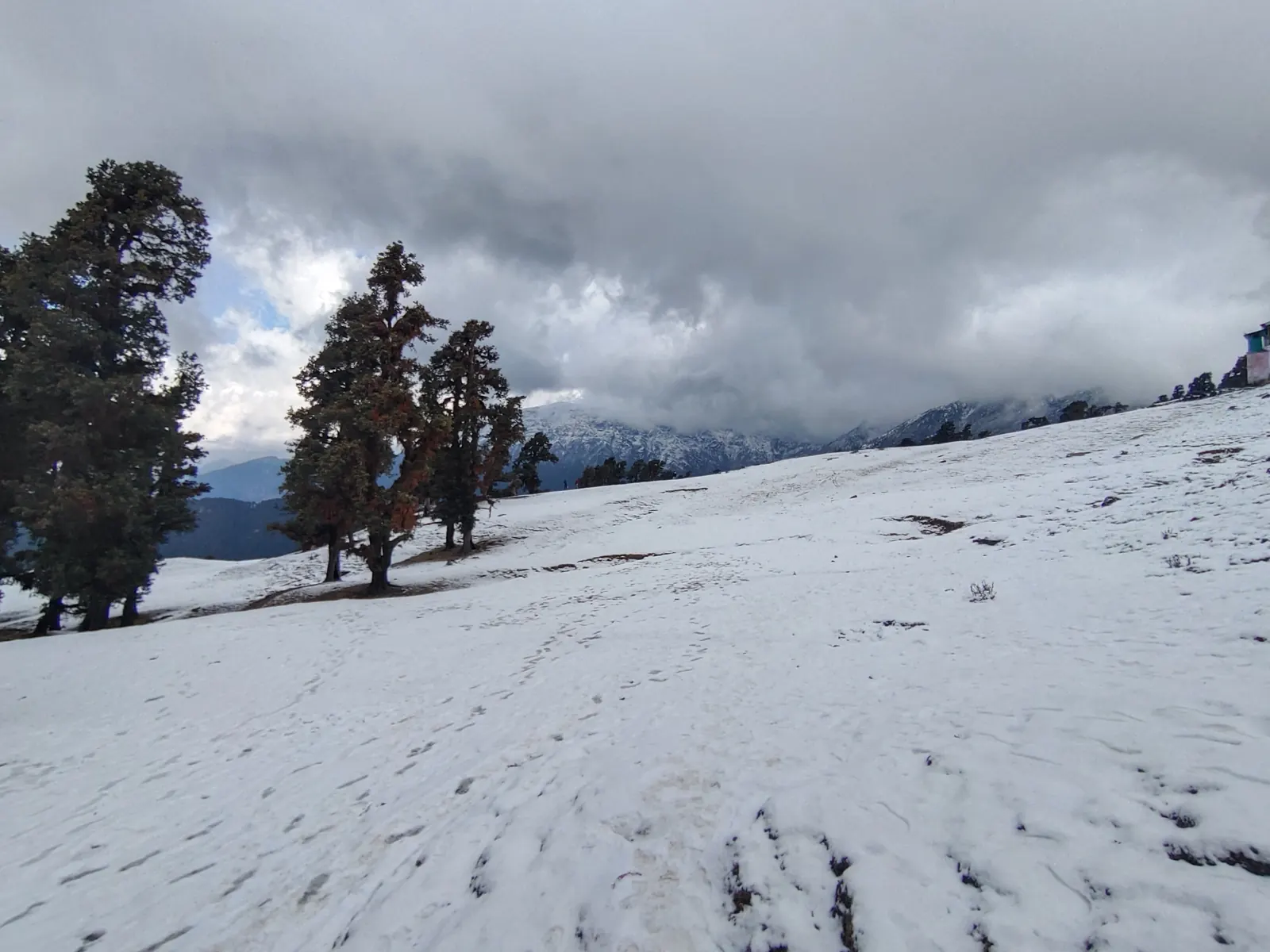
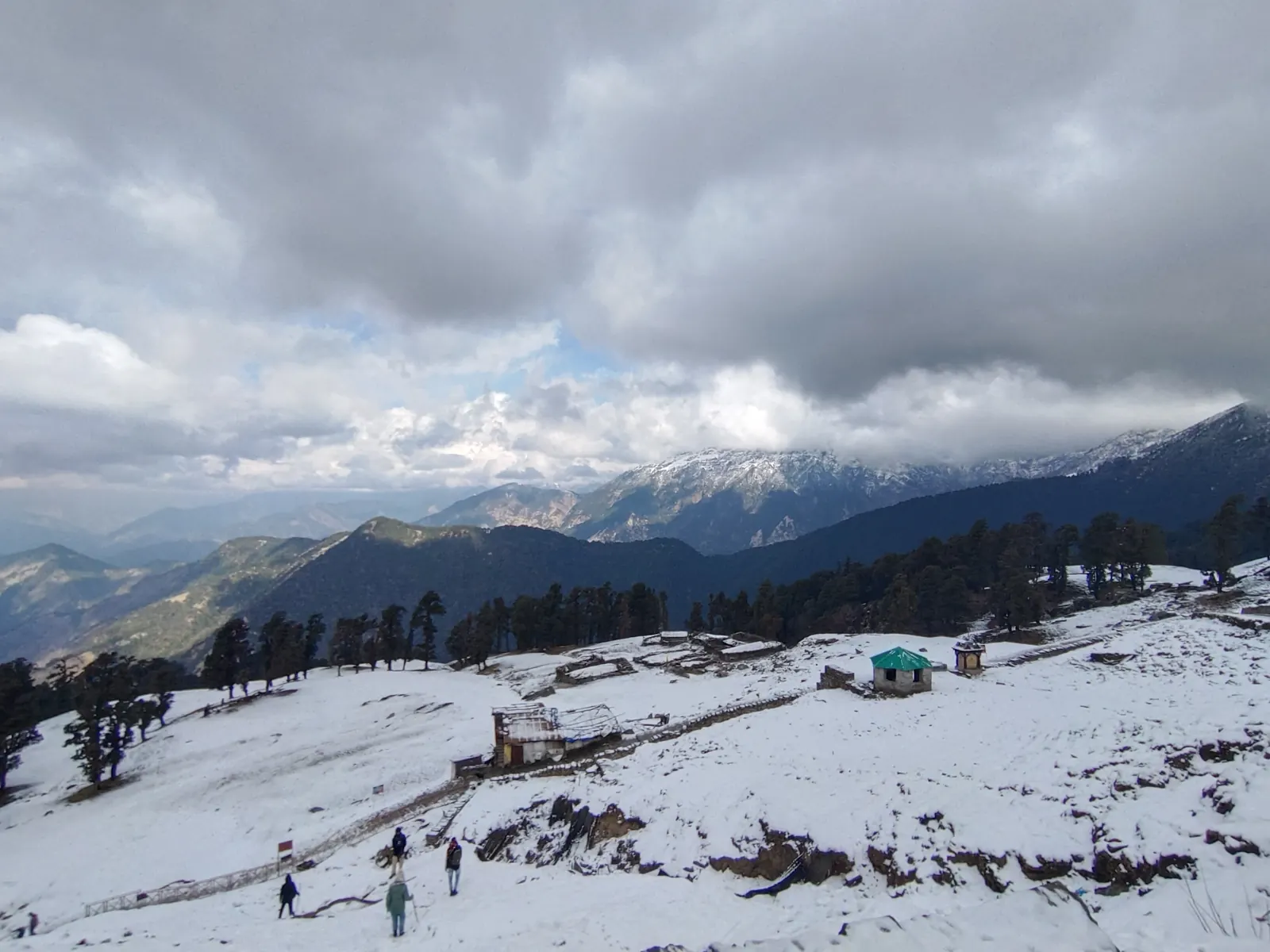
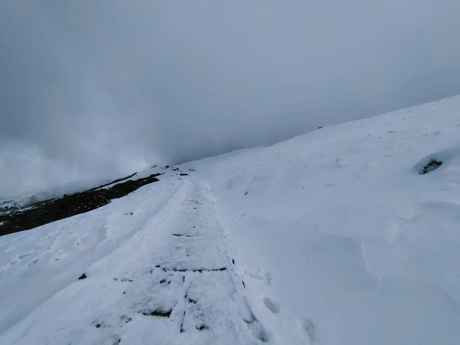
On 5 February I set off from Chopta towards Tungnath and Chandrashila. By 9:40 am I was already at almost 3,000 metres, walking across wide meadows buried in snow, with rhododendron and oak trees standing out dark against the white. Mid-morning the weather closed in completely — for a while the trail was just a line of footprints disappearing into a white wall, with no horizon at all.
The summit
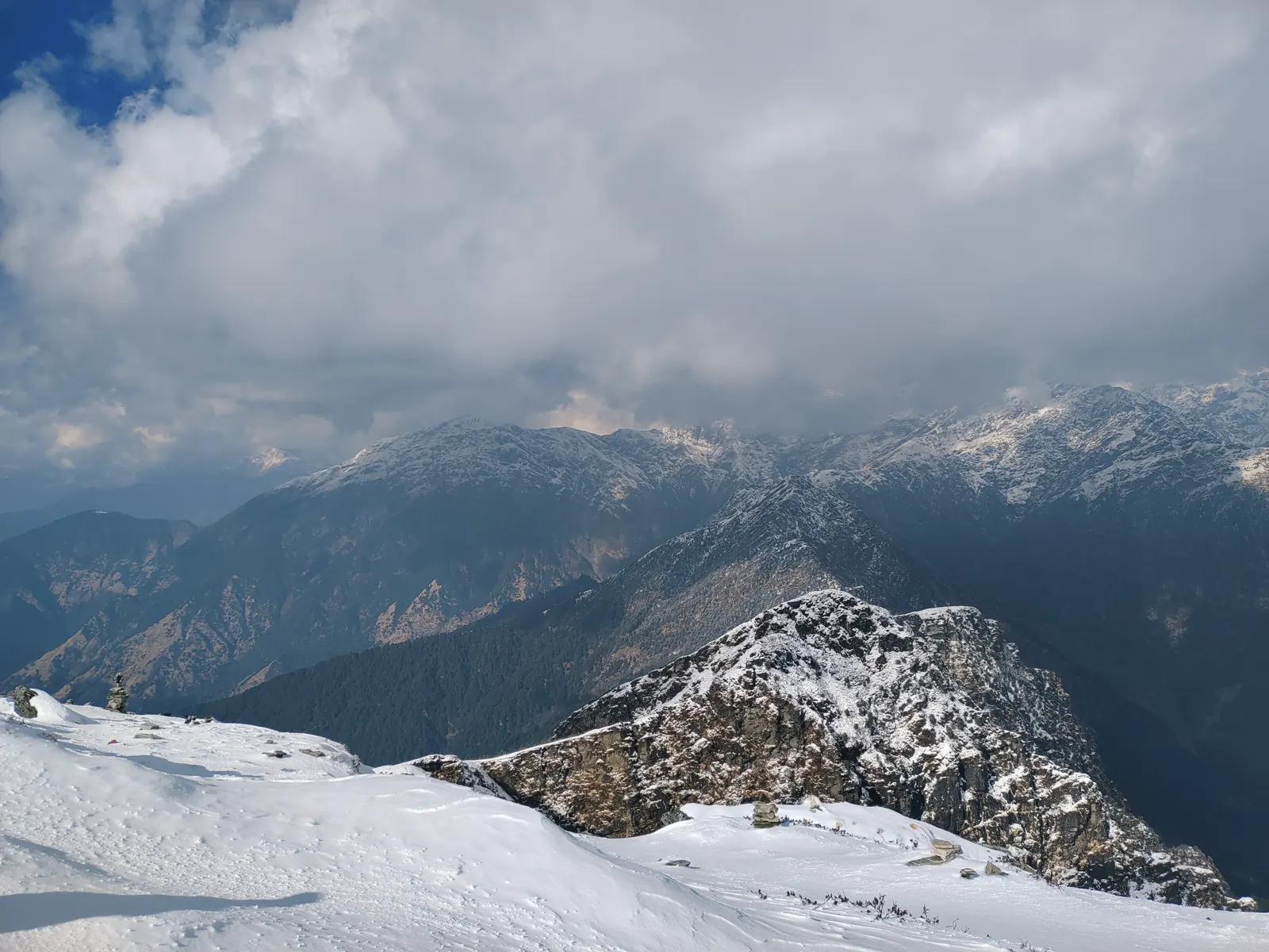
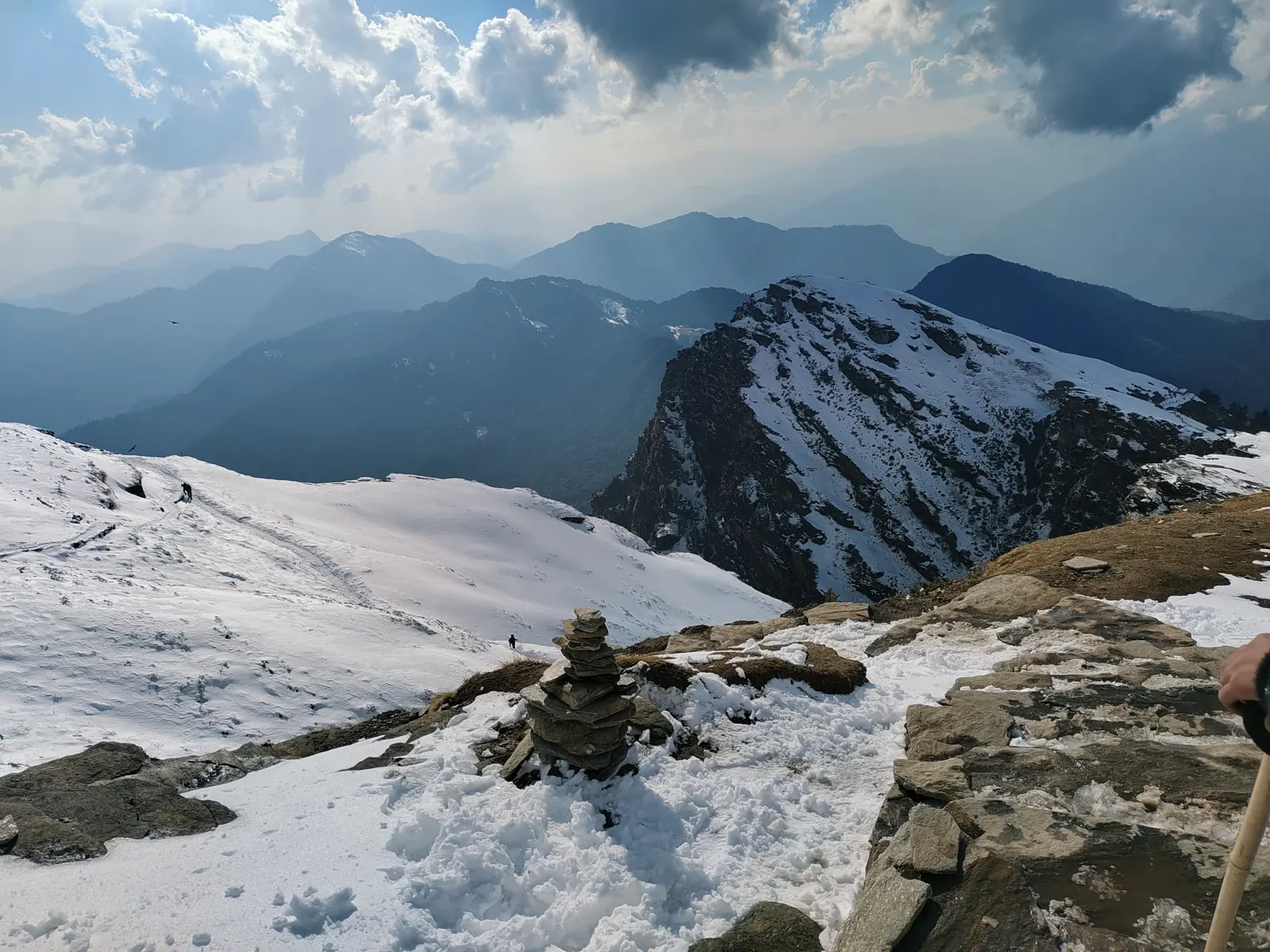
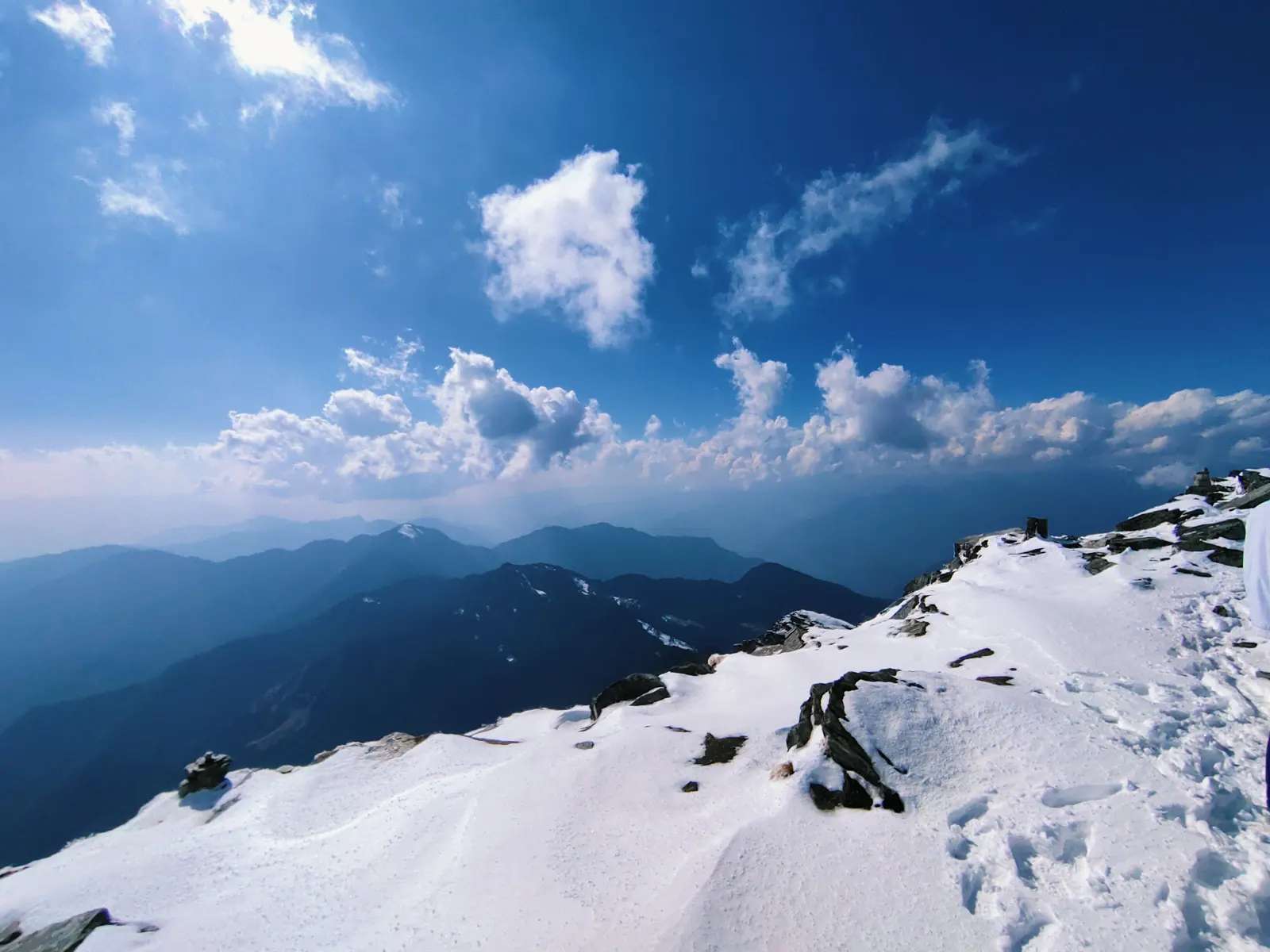
Then it opened up. Early afternoon on the summit the sky turned deep blue, the clouds lifted off the ranges, and the view went on in every direction: snow-covered ridges right below, dark forested valleys, and the high Garhwal Himalaya lined up along the horizon. Chandrashila — "moon rock" — is famous for exactly this 360° panorama, which on a clear day takes in Chaukhamba, Trishul, Nanda Devi, Kedarnath and Bandarpunch. I stayed up there for a couple of hours, watching the clouds build and clear again, before heading down in the late afternoon light.
A few days later I was down on the Ganga in Rishikesh, which felt almost tropical by comparison.
Worth knowing
- In winter the whole trail is under snow; microspikes or gaiters make a huge difference
- The route is short but steep — about 3.5 km from Chopta to Tungnath, then about 1.5 km more to the summit
- Weather changes by the hour; a whiteout in the morning can turn into a perfectly clear summit
New to trekking? Start with Himachal treks for beginners — most of the advice applies here too.